Previous |
Colin's Munros |
Next |
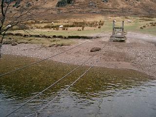
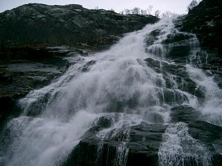
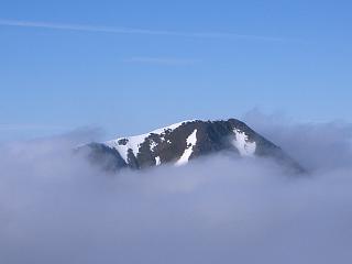
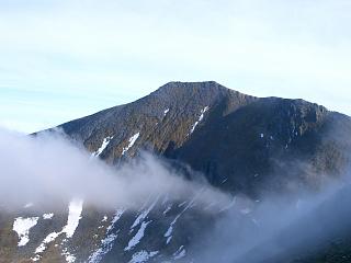
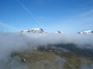
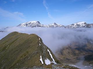
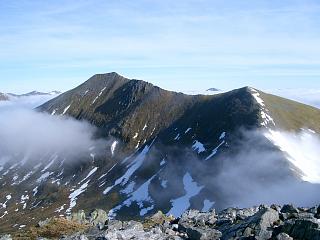
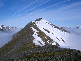
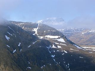
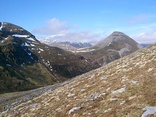
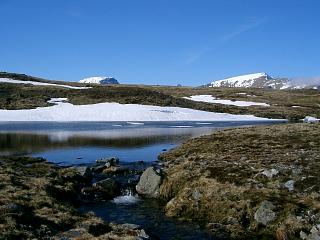
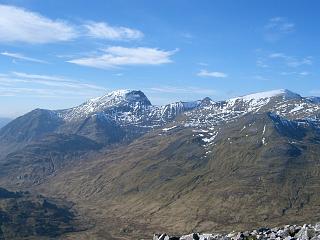
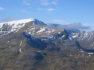
Route: This is a long walk – shorter/less is preferable – but it forms
one half of a convenient way of completing all the Mamores in just two walks.
The western Mamores are described here.
There are good paths throughout except from the wire bridge via Steall waterfall to base of hill,
& from Binein Beag down to Glen Nevis.
Weather 19/03/05: Perfect weather: initial cloud base 3000',
but only 500' thick, so above cloud 10:00-11:35. All cloud cleared suddenly at 13:45.
Weather 13/05/09: Sunny day, no cloud, ground snow almost gone, stiff bitter E wind.
Weather 11/06/15: A dry sunny day with stiff cool breeze on ridge & thin very high cloud.
Warm after descending from Binnean Beag; 5°C at start, 20°C at end.
| 19/3/05 | 13/5/09 | 11/6/15 | Description | Ht. | Asc. | Dist. | Mob. |
| 0630 | 0705 | 0500 | Car Park at E end of Glen Nevis NN168692 | 140 | 0 | 0.0 miles | No Orange |
| 0700 | 0730 | 0530 | Path E/SE by Water of Nevis to "footbridge". Cross 3-cable wire "bridge" |
210 | 95 | 1.05 miles | |
| 0715 | 0740 | 0540 | Cross river under An Steall waterfall (Reasonable dry boulder hopping if no recent rain.) |
215 | 100 | 1.25 miles | |
| 0805 | 0840 | 0640 | Path S up Coire Chadha Chaoruinn to cairn on NW ridge NN185676. (The path has been "improved" by the dumping of overly coarse rocks making it more like ascending a very poor scree slope.) N.B. The path no longer swings over to the NE ridge and back. |
625 | 510 | 2.1 miles | |
| 0850 | 0920 -0925 | 0730 | S to M An Gearanach | 982 | 865 | 2.6 miles | Orange |
| S to col | 950 | ||||||
| 0900 | 0940 | 0750 | S to T An Garbhanach | 975 | 890 | 2.9 miles | Orange |
| 0915 | 0955 | 0805 | SSW to bealach | 857 | |||
| 0930 | 1005 -1010 | 0820 | SSW to M Stob Coire a'Chairn | 981 | 1015 | 3.2 miles | Orange |
| 0950 | 1030 | 0840 | ESE/E/SE to col | 783 | |||
| 1110 | 0915 | ESE to T Na Gruagaichean NW top | 1041 | 1275 | 4.3 miles | Orange | |
| SE to col | 990 | ||||||
| 1035 | 1125 | 0930 | S to M Na Gruagaichean | 1056 | 1340 | 4.5 miles | Orange |
| 1135 | 0940 | E then ENE to col | 955 | ||||
| 1105 | 1150 | 0955 | NE to T Binnein Mor S top | 1062 | 1445 | 5.1 miles | Orange |
| N to col | 1035 | ||||||
| 1125 | 1205 | 1010 -1015 |
N/NNE to M Binnein Mor | 1130 | 1545 | 5.5 miles | Orange |
| Return S to col | 1035 | ||||||
| 1155 | 1220 | 1030 | S to T Binnein Mor S top | 1062 | 1580 | 5.95 miles | Orange |
| 1205 | 1040 | ESE to col, with cairn at path down | 925 | ||||
| 1215 | 1240 | 1050 -1100 |
E to T Sgor Eilde Beag | 956 | 1615 | 6.55 miles | Orange |
| 1225 | 1250 | — | Either Retrace 400yds W to cairn at col.
(If cornice, continue 15m more before descending) |
925 | |||
| 1245 | 1310 -1320 | — | Descend path on N face to path join at NW edge of loch in Coire an Lochan |
740 | 6.9 miles | ||
| — | — | 1120 | Or If no cornice, descend ridge path NNE to path join at NW edge of loch in Coire an Lochan |
740 | 6.9 miles | ||
| 1315 | 1350 | Then Path ENE under NW ridge, then ESE up path just behind ridge to ridge just W of summit |
990 | 1870 | |||
| 1320 -1340 | 1355 -1400 | 1150 -1210 |
E to M Sgurr Eilde Mor | 1010 | 1890 | 7.4 miles | Orange |
| 1400 | 1420 | 1230 | Retrace route W/WNW/WSW to path junctions at N end of lochan in Coire an Lochan NN222656 |
740 | 7.9 miles | ||
| 1405 | 1425 | 1240 | Descend NNW by direct path to burn | 625 | |||
| 1430 -1435 | 1455 -1505 | 1313 | Continue path N to lochan SW of B.Beag | 725 | 1990 | 8.9 miles | |
| 1500 -1515 | 1535 -1540 | 1340 -1350 |
Ridge path NE/N to M Binein Beag | 943 | 2200 | 9.4 miles | No Orange |
| 1530 | 1550 | 1400 | Descend scree path NW directly towards confluence near Na h-Easain waterfall. Cross path on map at 750m NN217677 |
750 | |||
| 1620 | 1620 | 1440 | Head NW for zig-zag in river and cross Water of Nevis at 330m contour NN214688 (Easy dry boulder hopping in dry weather.) |
330 | |||
| 1625 | 1625 | 1455 -1520 |
NW to path in Glen Nevis | 330 | 10.8 miles | ||
| 1645 | Path level with tributary joining Water of Nevis | ||||||
| 1730 | 1710 -1715 | 1550 | W to bridge by Steall | 230 | 11.8 miles | ||
| 1745 | 1605 | Path W to opposite 3-cable wire "bridge" | 215 | 2225 | 12.45 miles | ||
| 1815 | 1745 | 1630 | Footpath NW/SW above river back to car park. | 140 | 2235 | 13.45 miles | No Orange |
| Previous | Top | Next |